
Pilot Areas
From Theory to Reality: Validating the Digital Twin
TerraTwin is not just a theoretical model. We are testing and validating our “7D” Digital Twin Engine in four distinct European climatic zones. These “Pilot Sites” allow us to monitor real-world ecosystems, calibrate our AI models, and demonstrate value to local stakeholders.
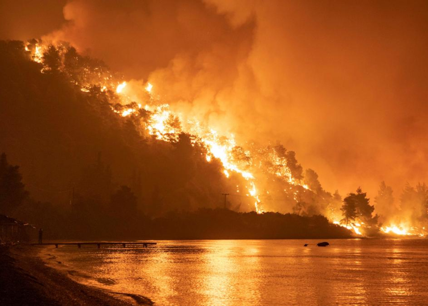
Pilot Site A: Greece
Title: Wildfire Cascades & Ecosystem Recovery.
The Challenge:Assessing the ‘post-fire cascade’ — the chain reaction where wildfires trigger soil erosion and
desertification, ultimately impacting terrestrial biodiversity, forests and agricultural areas, as well as freshwater and coastal seagrass meadows.
The Approach: Integrating satellite imagery, soil erosion modelling and biodiversity surveys to map risk and
quantify recovery across the terrestrial-to-marine continuum.
The Challenge:Assessing the ‘post-fire cascade’ — the chain reaction where wildfires trigger soil erosion and
desertification, ultimately impacting terrestrial biodiversity, forests and agricultural areas, as well as freshwater and coastal seagrass meadows.
The Approach: Integrating satellite imagery, soil erosion modelling and biodiversity surveys to map risk and
quantify recovery across the terrestrial-to-marine continuum.
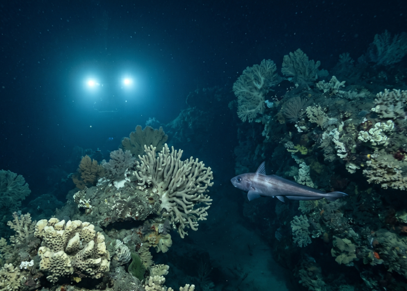
Pilot Site B: Spain
Title: Restoring Deep-Sea MPAs.
The Challenge: Monitoring the recovery of fragile deep-sea ecosystems (50–400m depth) within Mediterranean Fishery No-Take Zones heavily impacted by bottom trawling.
The Approach: Utilizing Remotely Operated Vehicles (ROVs) and AI-driven image recognition to automate the quantification of key species like the Norway lobster.
The Challenge: Monitoring the recovery of fragile deep-sea ecosystems (50–400m depth) within Mediterranean Fishery No-Take Zones heavily impacted by bottom trawling.
The Approach: Utilizing Remotely Operated Vehicles (ROVs) and AI-driven image recognition to automate the quantification of key species like the Norway lobster.
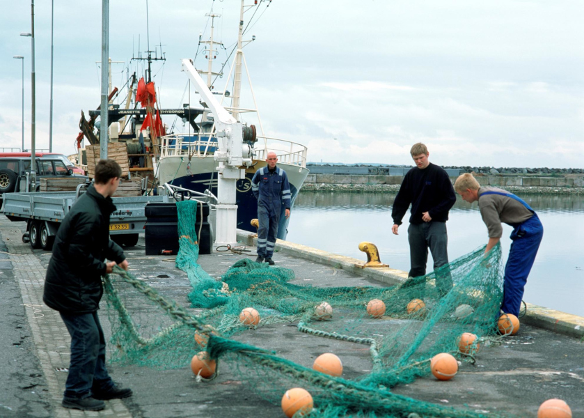
Pilot Site C: Ireland
Title: Climate-Resilient Fisheries.
The Challenge: Predicting the future of coastal multi-fishery areas in Galway Bay under shifting climate conditions and IPCC environmental scenarios.
The Approach: Linking “sleeping” historical survey data with real-time streams from the SmartBay cabled observatory to model species behavioral responses to change.
The Challenge: Predicting the future of coastal multi-fishery areas in Galway Bay under shifting climate conditions and IPCC environmental scenarios.
The Approach: Linking “sleeping” historical survey data with real-time streams from the SmartBay cabled observatory to model species behavioral responses to change.
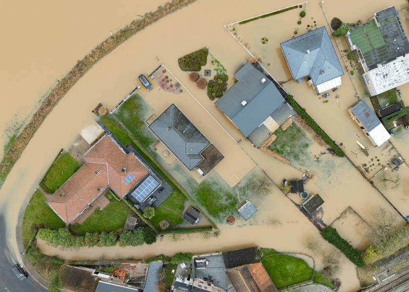
Pilot Site D: Belgium
Title: Compound Flooding & Soil Health.
The Challenge: Understanding how extreme compound flooding events impact the “hidden” soil biodiversity—bacteria, fungi, and nematodes—crucial for agricultural resilience.
The Approach: Implementing DNA metabarcoding and hydrodynamic modeling to simulate ecosystem impacts under high-emission RCP 8.5 climate trajectories.
The Challenge: Understanding how extreme compound flooding events impact the “hidden” soil biodiversity—bacteria, fungi, and nematodes—crucial for agricultural resilience.
The Approach: Implementing DNA metabarcoding and hydrodynamic modeling to simulate ecosystem impacts under high-emission RCP 8.5 climate trajectories.